Approximately one hundred stages and as many miles of hiking trail – from Björkhagen’s metro station in the north to Kolmården in the south. The trail goes through varied landscapes with wilderness, cultural areas, and historical landmarks. Many very beautiful places are passed.
How do I find it?
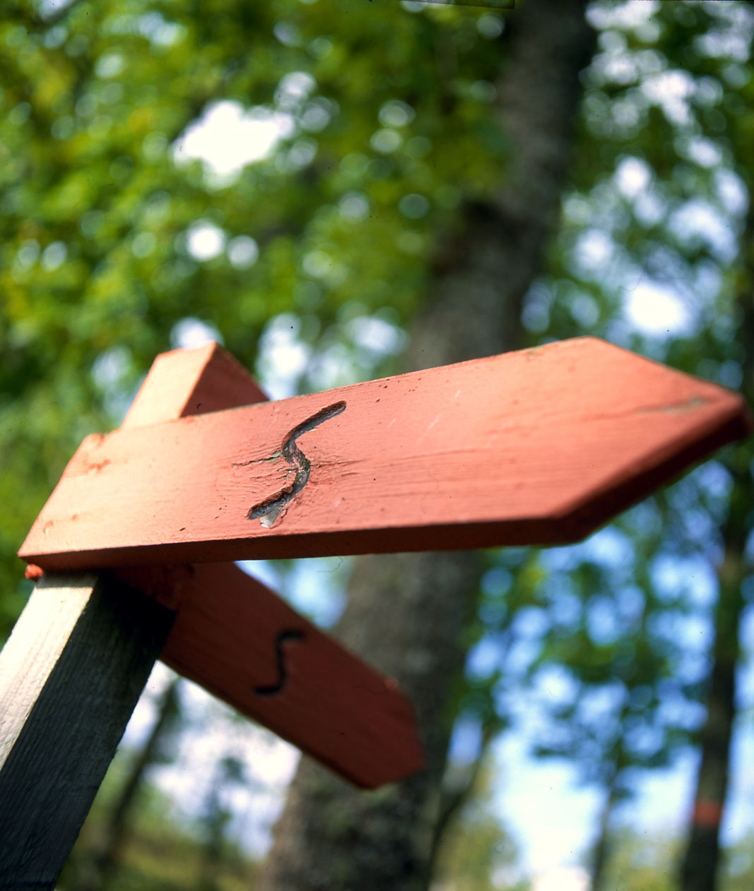
The trail is marked with orange rings around trees, signs with the text SÖRMLANDSLEDEN, and orange arrows with an S. Sometimes the markings are supplemented with light blue color, indicating that the stretch is also part of a circular route. In densely populated areas, the trail may be marked with stickers on lamp posts.
A map is needed. Members of the non-profit Sörmlandsleden Association can print detailed stage maps from the website. The membership fee is 200 kronor.
Accommodation
Along the trail, there are more than 50 shelters. There is often the option to stay overnight in hostels, bed & breakfast, and similar.
Long-distance hikers are recommended to carry a tent, as the trail sometimes goes through stretches of uninhabited areas.
Water
There are a number of springs along the trail. During dry periods, the springs may run dry.
How do I find out more?
On the website sormlandsleden.se, all stages are described along with much other useful information.